November, 2026
Can Foreigners Buy Property in the UK Without a Visa?
The UK continues to attract international property buyers, from those seeking a London base to families lookin...
Explore more
Rent
Prime
Countryside
South West
Scotland
Latest stories
November, 2026
The UK continues to attract international property buyers, from those seeking a London base to families lookin...
Explore moreNovember, 2026
In our Q3 2026 sales analysis, 10% of sales involved properties held in a special purpose vehicle, or SPV. For...
Explore moreNovember, 2026
If you are selling a home in England or Wales, allow several months from the decision to sell to the day you h...
Explore morePublished: 27 April 2026
There are few more quintessentially English sights to see than the post worker strolling through the streets delivering letters to every door. Even as we find ourselves deep in the age of digital communication and correspondence, there is a legacy of purpose and pride in the innovative methods that the Post Office brought to connecting the country.
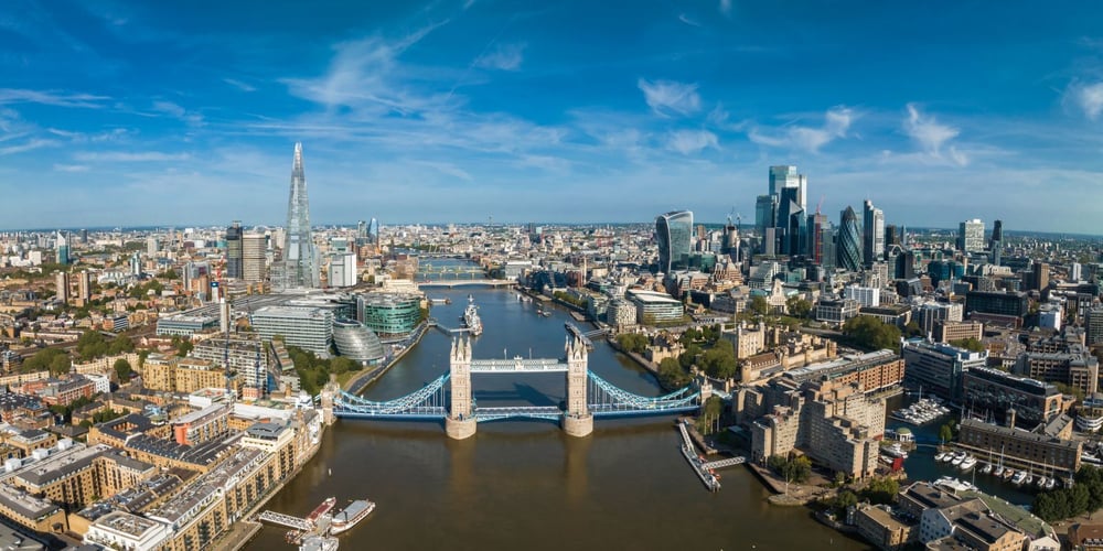
Some postcodes cover relatively small locations in densely populated areas. Buckingham Palace is a great example of this. However, many of the larger rural parts of the country are served by just one outward code.
Here are some great examples of the largest postcode areas in the country, starting with the biggest of all.
This covers an estimated 500 square miles of moorland, lochs and remote crofting communities in the Scottish Highlands.
350 square miles surrounding mainland Scotland’s northernmost town. Spectacular farmland and rugged cliffs abound here.
A Highland glen famous for hiking and outdoor adventure, with an old aluminium smelting village at its core. Estimated at 310 square miles.
This is the most westerly point on the mainland with incredible sea views and ancient woodlands for almost 270 square miles.
250 square miles of beaches and striking Scottish vistas are to be found here.
The Norse heritage and seabird colonies found here provide 210 square miles of windswept wonder.
Almost 200 square miles that is a haven for stargazers, hikers and extreme mountain bikers across Galloway Forest Park.
This estuary village sits on the edge of the Lake District in Cumbria, with just over 150 square miles of Roman history surrounding it too.
This is the gateway to Snowdonia with its valleys, rivers and mountains offering 135 square miles for this incredible postcode area.
The famous distilleries and fisheries of the River Spey make this one of the most renowned large postcode areas in the country. It is definitely enough to raise a glass to.
Like so many of the great leaps forward for the UK, the postcode has its roots in London.
In the mid-19th century, the capital had experienced an explosion in population that grew to an unprecedented 3 million people. Alongside this, the Penny Post was introduced, which allowed a letter to be sent to any location in the UK for just a single penny. It created a new nation of letter writers, encouraged by this democratising development, and soon letters were flying around every corner of the isle.
To combat both these developments, London was initially divided into ten postal districts that used the compass to mark them. It certainly made sorting faster, but it wasn’t enough. Soon, Liverpool, Manchester and Glasgow had the same problem, and a new solution would be needed.
By the 1950s, the Post Office was now desperate to find more efficiency. It needed a machine-friendly code for more exact locations that could be read and used at high speeds by sorting machines. In 1959, on the streets of Norwich, a quiet revolution was taking place. Every address was given a short code combining letters and numbers that told the sorting machine where a letter should be sent, and a huge majority of guesswork was finally removed. This trial was a great success and over the next 15 years, all of the United Kingdom was treated in the same way until 1974 saw the whole country officially post coded.
The design itself is deceptively simple and wonderfully elegant, using two main elements.
This comes before the space and details two parts to direct mail from the sender.
One or two letters give the broadest location. A good example is SW.
One or two digits or letters clarify a smaller area in that location. SW1A
This comes after the space and provides the exact sector & unit.
A single digit to narrow the location down further. SW1
The two final letters define a very small collection of addresses. Sometimes just one.
So, when it is all put together, SW1A 1AA lets the post worker know exactly where this particular postcode is. In this case, there is only one residence here and that is the iconic Buckingham Palace itself.
Postcodes still remain a vital part of the wayfinding for all the country’s residents and visitors in the 20th century. They can be used for GPS and satnav capabilities, they inform insurance policies and demographic data and they even form an essential part of public services for school catchments and healthcare.
So, the next time you find yourself writing a letter or punching a code into the car to find your next destination, perhaps spare a thought for the hundreds of years of development that have made it all possible.